Natyral Site
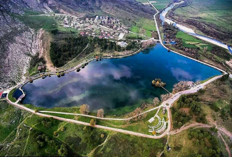
Viroi Lake Gjirokastër
This hidden paradise is located only 3km from Gjirokastra. Furthermore, it is conveniently connected to the city via a long promenade. Many locals bike or walk over this promenade, on their way to an idyllic picnic amidst the beautiful natural surroundings.
Cafes and restaurants also line the shore of the lake, where you can enjoy a nice lunch or refreshment while admiring the stunning placid waters and picturesque landscape. The journey to Viroi Park is also great experience in itself! If you’re driving through the Tepelena-Gjirokastra motorway, you’ll enjoy beautiful panoramas of Viroi Lake, surrounded by lush green forests on one side, and of the Vjosa River on the other. It is the perfect place for travellers to stop their car, inhale the fresh air, and feast their eyes on the spectacular landscape that awaits them ahead!
250
K+
Visitors For Year
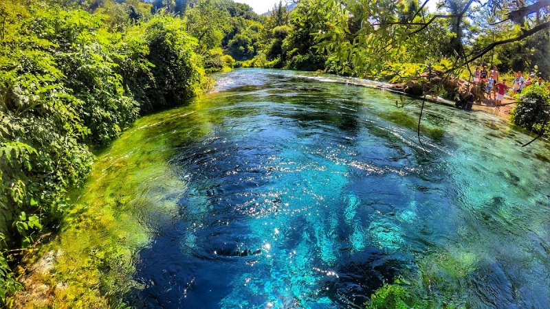
Natural reserve of Blue Eye (Syri i Kalter)
From Gjirokastra will take up to 35 min drive. Lead south, towards Kakavia, and take the right turn at Jergucati and follow this road over the mountains. On the descent there is a choice of roads, both of which go to Saranda. The main road to the left, which follows the valley of the Bistrice River, is the best road. The other, in much poorer conditions, goes via the town of Delvina. At the foot of the mountains is the source of the Bistrice River. At the head of the river there is a wonderful fresh water spring, known as the Blue Eye (Syri i Kaltër), where the clear blue water bubbles up from a stunning deep pool. It is well worth a visit.Once there, take on the right after you go down from Muzina Pass, where you will see a table “Syri i kalter”.
750
K+
Visitors For Year
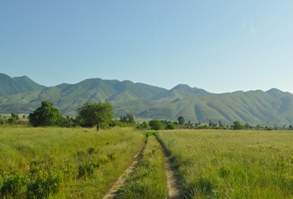
Drinos Valley
The beautiful Drinos Valley is 50 km long, stretching from Koshovica on the border with Greece, to the Subashi bridge in Tepelena. The valley lies between Lunxheri-Bureto Ridge and Mali i Gjerë to the east, and Kurveleshi Plateau to the west. It has been a trading route for centuries, and includes the city of Gjirokastra.
600
K+
Visitors For Year
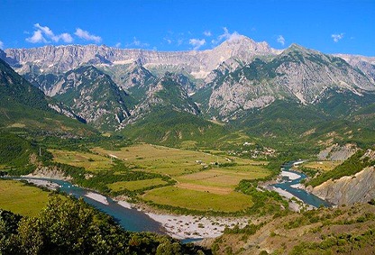
The Valley Of Zagoria & Pogon
Zagoria Valley is one of the biggest valleys in the area in an altitude 160-900 meters. In this altitude it changes the character several times. It narrows and expands during its length, creating canyons and beautiful reliefs. While Pogoni Valley is along Suha River, surrounded by high mountains of Nemercka (2485) Bureato (1766m dhe Makrikambo (1676m)).
710
K+
Visitors For Year
Vjosa River
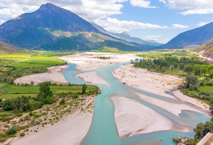
The Vjosa River is one of the last wild rivers in Europe. It enters Albania at the “Tre Urat” border and crosses into the Municipality of Përmet and Këlcyra as it joins the Zagori and Drino River, where it also flows into the Municipality of Tepelena and continues its journey to the estuary of the Adriatic Sea. This portion of the river offers excellent opportunities for rafting and other water sports. The Vjosa river valley is characterized by numerous natural features such as swirling streams, canyons, freshwater springs, islands, and curves that create magnificent meanders, singular panoramic landscapes, characteristic villages, etc. All of these unique attractions blend in harmony with each other and place tourists in direct contact with the untouched nature of the valley, its people, history, traditions and, without a doubt, the rich and varied cuisine of the area. Rafting trips are offered to all enthusiastic travelers who like wildlife and adventure, adrenaline and outdoor sports.
804
K+
Visitors For Year
Viro Lake, this hidden paradise is located only 3km from Gjirokastra.
Furthermore, it is conveniently connected to the city via a long promenade. Many locals bike or walk over this promenade, on their way to an idyllic picnic amidst the beautiful natural surroundings.